3D LASER SCANNING and LiDAR

SERVICES
3D LASER SCANNING and LiDAR
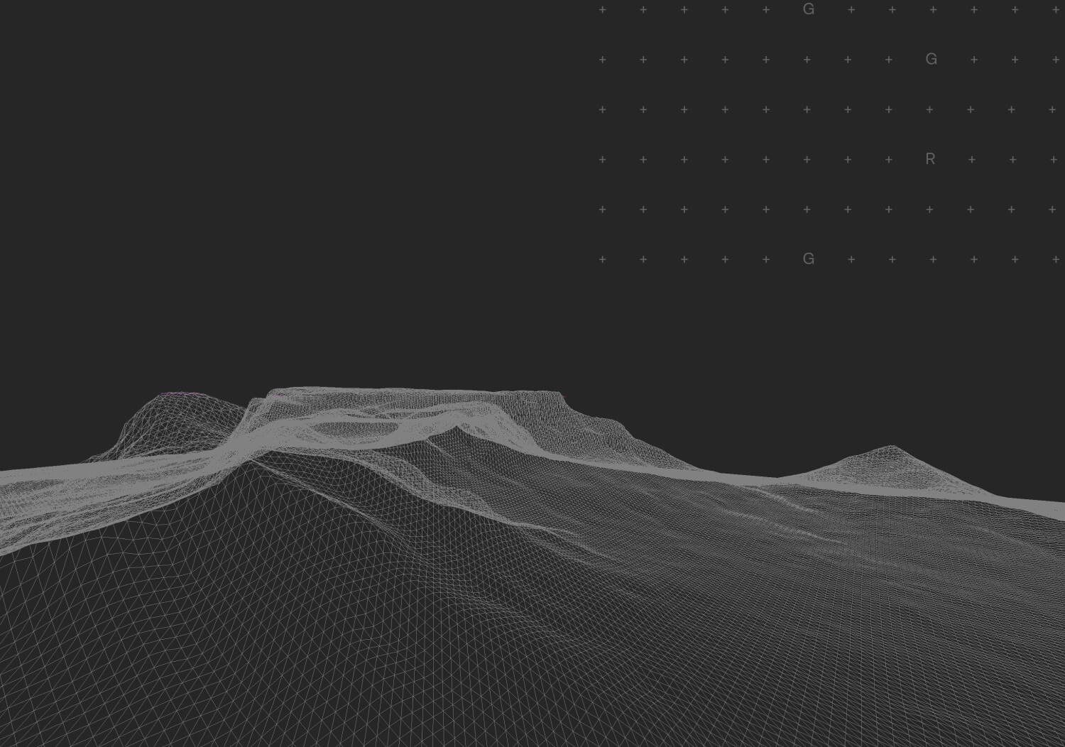
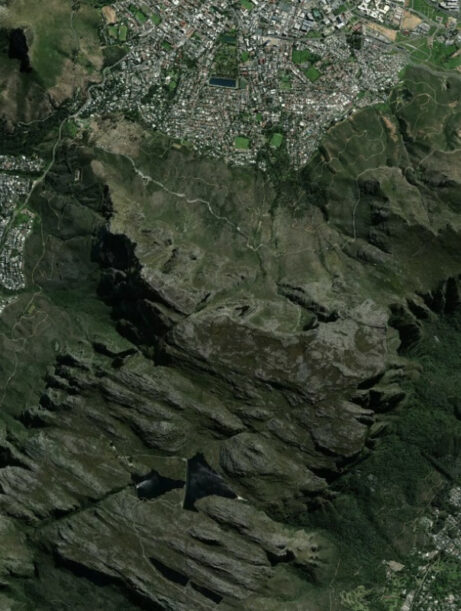
We use state-of-the-art 3D laser scanning and LiDAR technologies to provide accurate, reliable, and detailed data for all types of engineering and construction projects. Our solutions enable fast and precise data collection of terrain and structures, increasing the efficiency and accuracy of your projects.
Advantages of Laser Scanning:
-
High Precision: Delivers accurate and detailed data for complex geometric shapes and structures
-
Speed: Rapid collection of large volumes of data, reducing time spent in the field
-
Versatility: Suitable for a wide range of applications, including architectural projects, engineering analyses, archaeology, and more
-
Safety: Minimizes the need for physical access to hazardous or hard-to-reach areas
Advantages of LiDAR Technology:
-
Detailed Topography: Accurate mapping of large areas, including vegetation, buildings, and other structures
-
Vegetation Penetration: Capable of scanning through dense forest cover to provide data on ground surfaces beneath
-
Fast Data Processing: LiDAR data can be processed quickly for analysis and planning
-
Wide Range of Applications: Ideal for urban planning, road and railway construction, resource management, and environmental studies
Our 3D Laser Scanning and LiDAR Services Include:
-
Topographic Surveys: Precise terrain mapping for construction and infrastructure projects
-
DTM Generation: Creation of Digital Terrain Models for detailed surface analysis
-
3D Modeling: Production of detailed 3D models for design and analysis based on laser scanning data
-
Architectural Documentation: Creation of accurate and detailed drawings of existing buildings
-
Change Monitoring: Continuous monitoring and analysis of changes in terrain or structures over time
-
Environmental Analysis: In-depth analysis of terrain and natural resources for environmental protection and planning purposes