
GEOPHYSICAL GEODESY

SERVICES
GEOPHYSICAL GEODESY
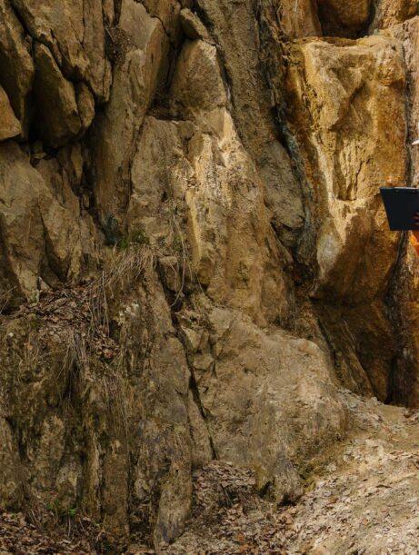
We specialize in providing innovative and market-unique services in the field of geophysical geodesy, which combines geophysical and geodetic methods to explore and analyze the Earth's properties. Geophysical geodesy enables us to understand dynamic processes within the Earth and link them to engineering and construction solutions.
Our Services in Geophysical Geodesy Include:
-
Gravimetry: Measuring the Earth’s gravity acceleration to analyze geodetic and geophysical characteristics of areas of interest
-
Magnetometry: Measuring the Earth’s magnetic field strength for geodetic and geophysical analysis of target areas
-
GNSS Measurements: Using satellite technologies to monitor crustal movements and deformations
-
Geophysical Mapping: Creating detailed maps that display geophysical features of an area for research and planning purposes
Applications of Geophysical Geodesy:
-
Construction: Analyzing and monitoring ground deformations to ensure the stability of structures
-
Infrastructure Projects: Planning and monitoring the impact of geophysical processes on roads, railways, and other infrastructure
-
Mining and Oil Exploration: Investigating subsurface resources and monitoring changes during extraction
-
Environmental Protection: Monitoring geophysical changes that may affect the environment and supporting the planning of protective measures